
USC Digital Library-California Historical Society.
All of the overpasses shown below (except the one at Pomeroy Ave.) were still intact until the very early 1970s, when the three then-existing lanes of the San Bernardino Freeway were widened to more.
Traveling eastbound on Ramona, the first overpass after Macy was the State Street viaduct. April 16, 1935.

USC Digital Library-California Historical Society.
View back towards town from atop the State St. viaduct.
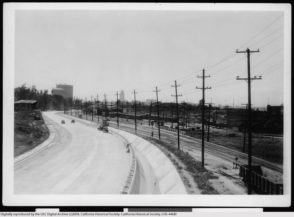
USC Digital Library-California Historical Society.
Next overpass eastbound was the pedestrian bridge at Pomeroy Avenue (c.1934-1939).
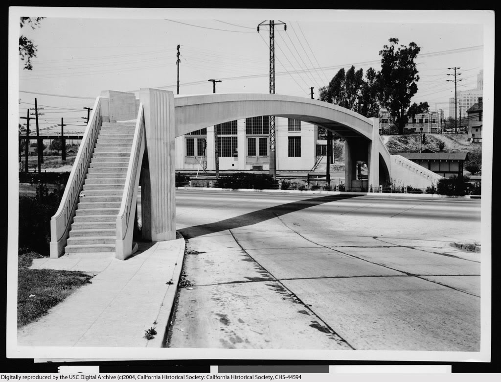
USC Digital Library-California Historical Society.
Continuing east on Ramona, the overpasses for Marengo Street (foreground) and Soto (rear).

USC Digital Library-California Historical Society.
Continue reading...
0 comments:
Post a Comment
Note: Only a member of this blog may post a comment.