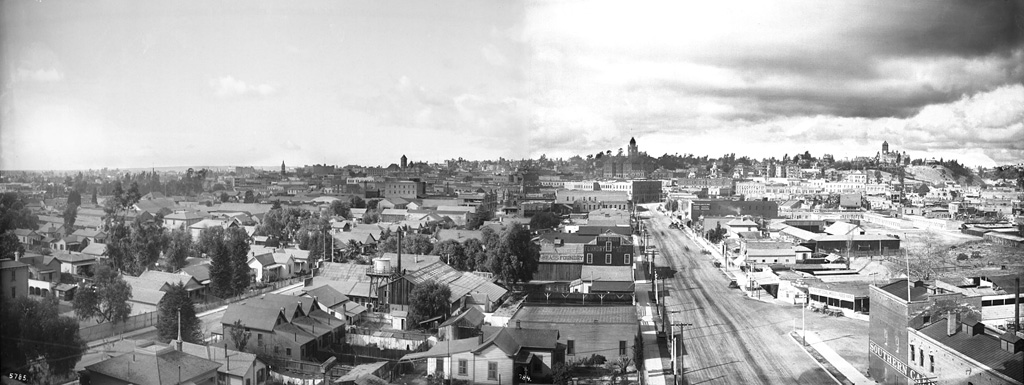
Click image for full-size enlargement. Images courtesy U.S.C. Digital Library.A panoramic view of Los Angeles in 1899, looking west from atop the Maier & Zobelein Brewery, known to later generations of Angelenos as the "Brew 102 building." The four tall structures visible here were, from left to right, the Cathedral of St. Vibiana, City Hall, the County Court House, and Los Angeles High School.
In the entire panorama above, I can make out only six buildings that are still standing today.
The broad boulevard was Aliso Street. Today, it is U.S. Highway 101. The old Brew 102 building and the modern freeway can be seen in the photo below, circa 1976.
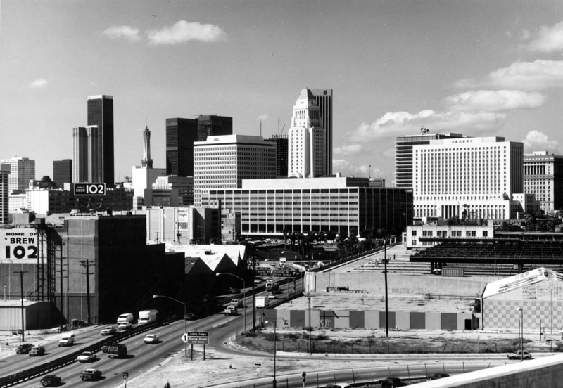
Photo by William Reagh, courtesy Los Angeles Public Library Photo Collection.

