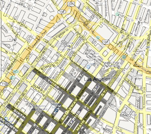
A few months ago, though, I got the idea to superimpose a Google map from today over the old map, mostly to see exactly where the freeways were built in relation to the existing streets and neighborhoods of the '40s and '50s. Here was the result:

Unfortunately, I couldn't get the two maps to align precisely, but this was a good enough result for the purpose I intended, and much more. I hope you find the many possible comparisons as interesting as I do!
(Thanks to Mr. Dickerson for permission to post the modification of his original map.)
ADDENDUM: There are two much better overlay maps in this post. Check those out, if you haven't already.
0 comments:
Post a Comment
Note: Only a member of this blog may post a comment.