A vanished city lives again...

Sunday, September 23, 2012

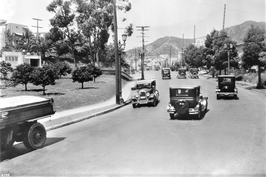
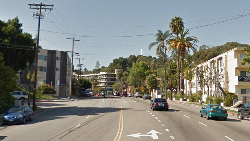
Cahuenga Boulevard, Then & Now

The same spot,
    on the same road,
        in three centuries...

Cahuenga Pass, 1897:


Courtesy U.S.C. Digital Library.

Cahuenga Avenue, 1927:


Courtesy U.S.C. Digital Library.

Cahuenga Boulevard, Today:


Click image above to see the Google Maps Street View.


Tuesday, September 18, 2012

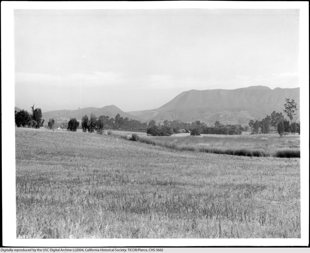
The Cahuenga Valley...

...before it became better known to the world as "Hollywood."

The E.A. Melrose ranch, circa 1915.


Courtesy U.S.C. Digital Library.


Not even yet a century ago. Hard to imagine, isn't it?


Friday, September 14, 2012

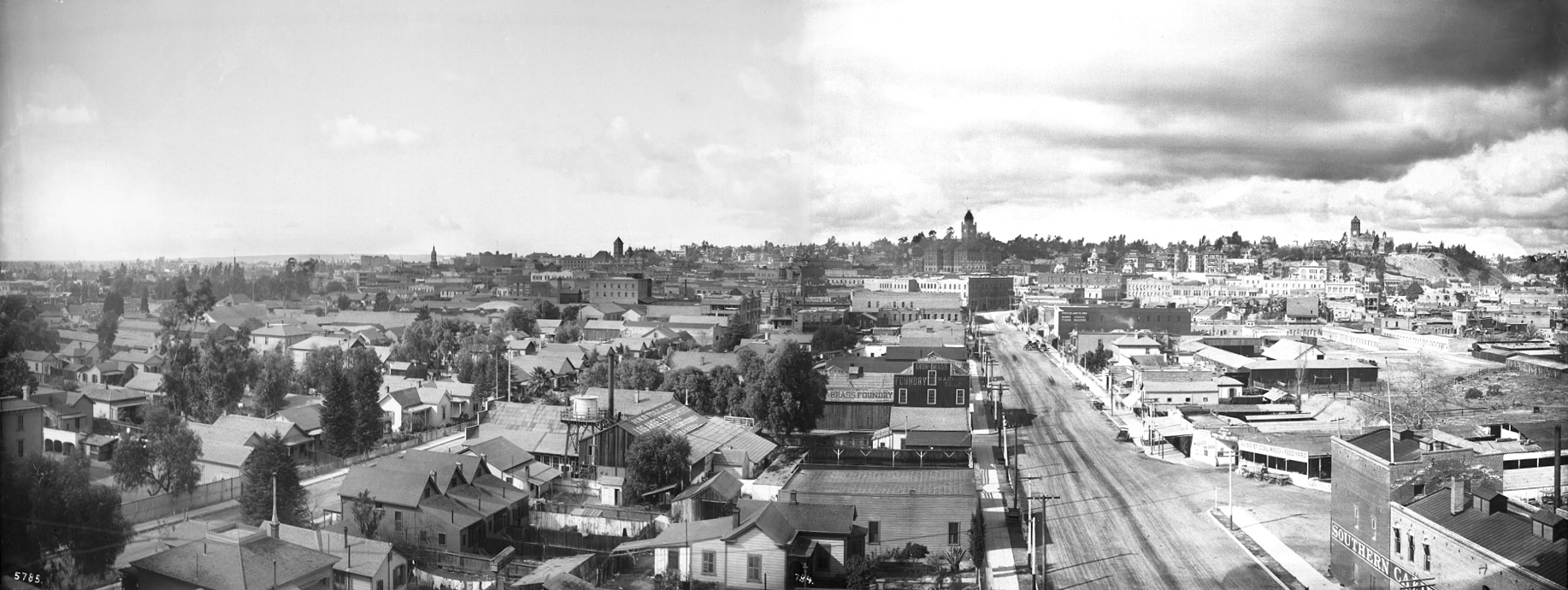
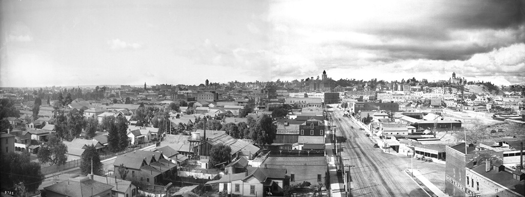
Panorama of Los Angeles, 1899


Click image for full-size enlargement. Images courtesy U.S.C. Digital Library.

A panoramic view of Los Angeles in 1899, looking west from atop the Maier & Zobelein Brewery, known to later generations of Angelenos as the "Brew 102 building." The four tall structures visible here were, from left to right, the Cathedral of St. Vibiana, City Hall, the County Court House, and Los Angeles High School.

In the entire panorama above, I can make out only six buildings that are still standing today.

The broad boulevard was Aliso Street. Today, it is U.S. Highway 101. The old Brew 102 building and the modern freeway can be seen in the photo below, circa 1976.
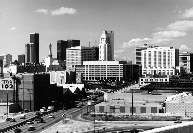

Photo by William Reagh, courtesy Los Angeles Public Library Photo Collection.


Thursday, August 30, 2012

Spring and First Streets, c.1903

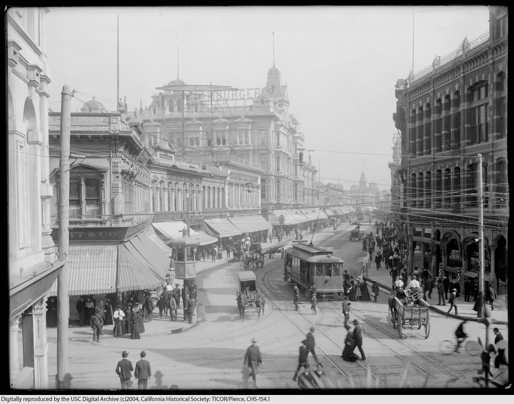
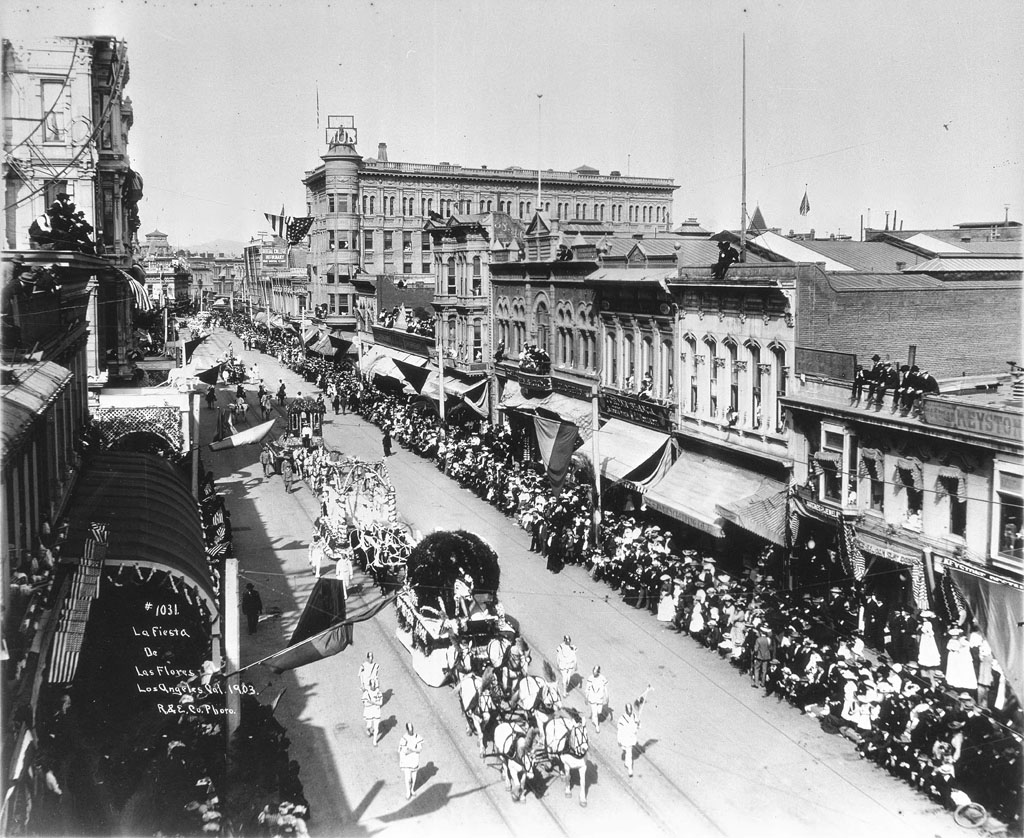
One of my favorite places in vanished Los Angeles was the bustling intersection of Spring and First Streets. Here are three contemporaneous views from just after the turn of the last century.

Looking north on Spring Street from First.


Courtesy U.S.C. Digital Library.


Now, in the photo above, see the man at upper left leaning on the flagpole? He's standing on the roof of the Larronde Block, which is the likely vantage point of this shot dated 1903.


Courtesy U.S.C. Digital Library.


And the view south, probably taken from an upper storey window in the Phillips Block.


Courtesy U.S.C. Digital Library.


South on Spring from First today. Click on the Google Street View image below to have a look around the intersection now. (Peek over your left shoulder to really get your bearings.) ;-)


Google Maps Street View.


Thursday, August 23, 2012

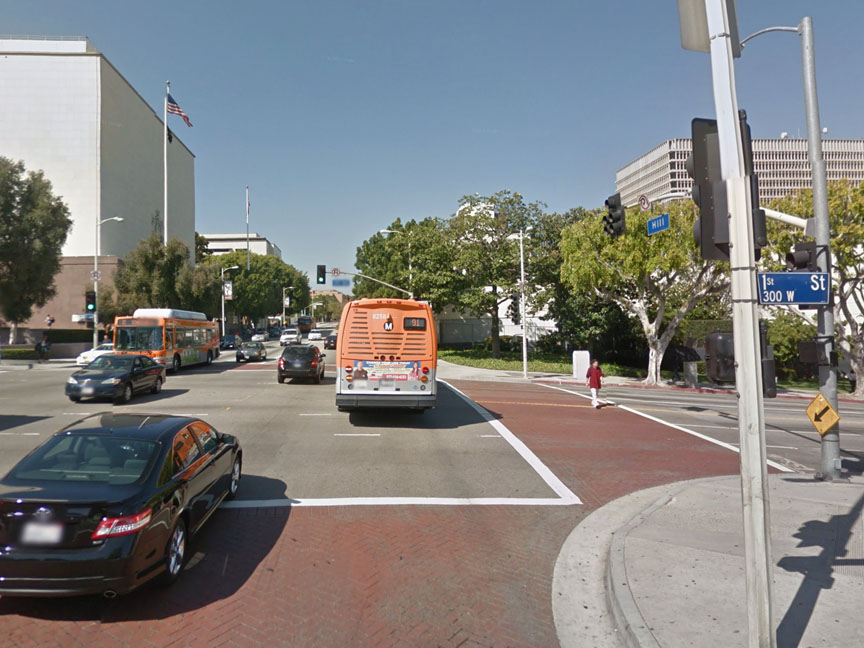
Hill Street at First, Then & Now

1908:


Courtesy U.S.C. Digital Library.


2011:


Google Maps Street View.


Today, clearly, it's "Hill Street" in name only.


Friday, August 3, 2012

More old Temple Square views

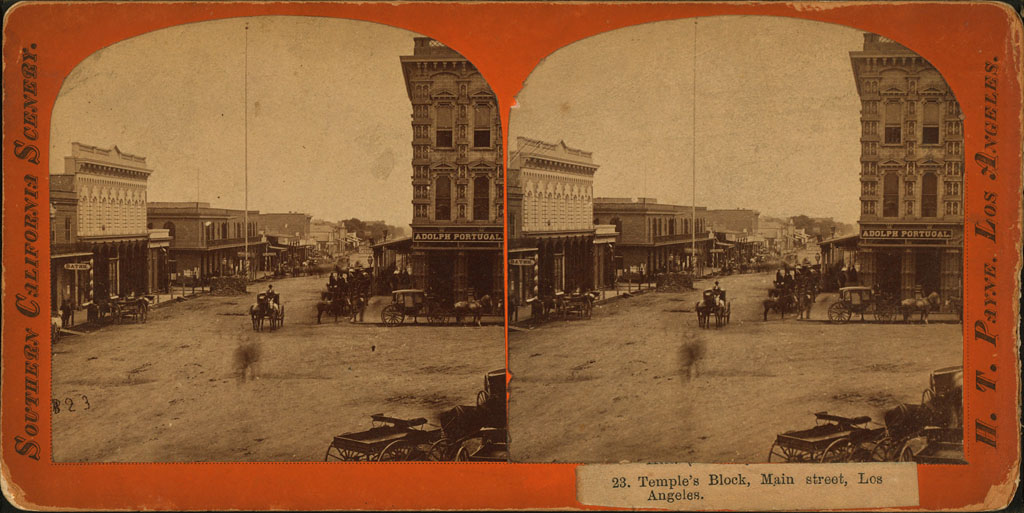
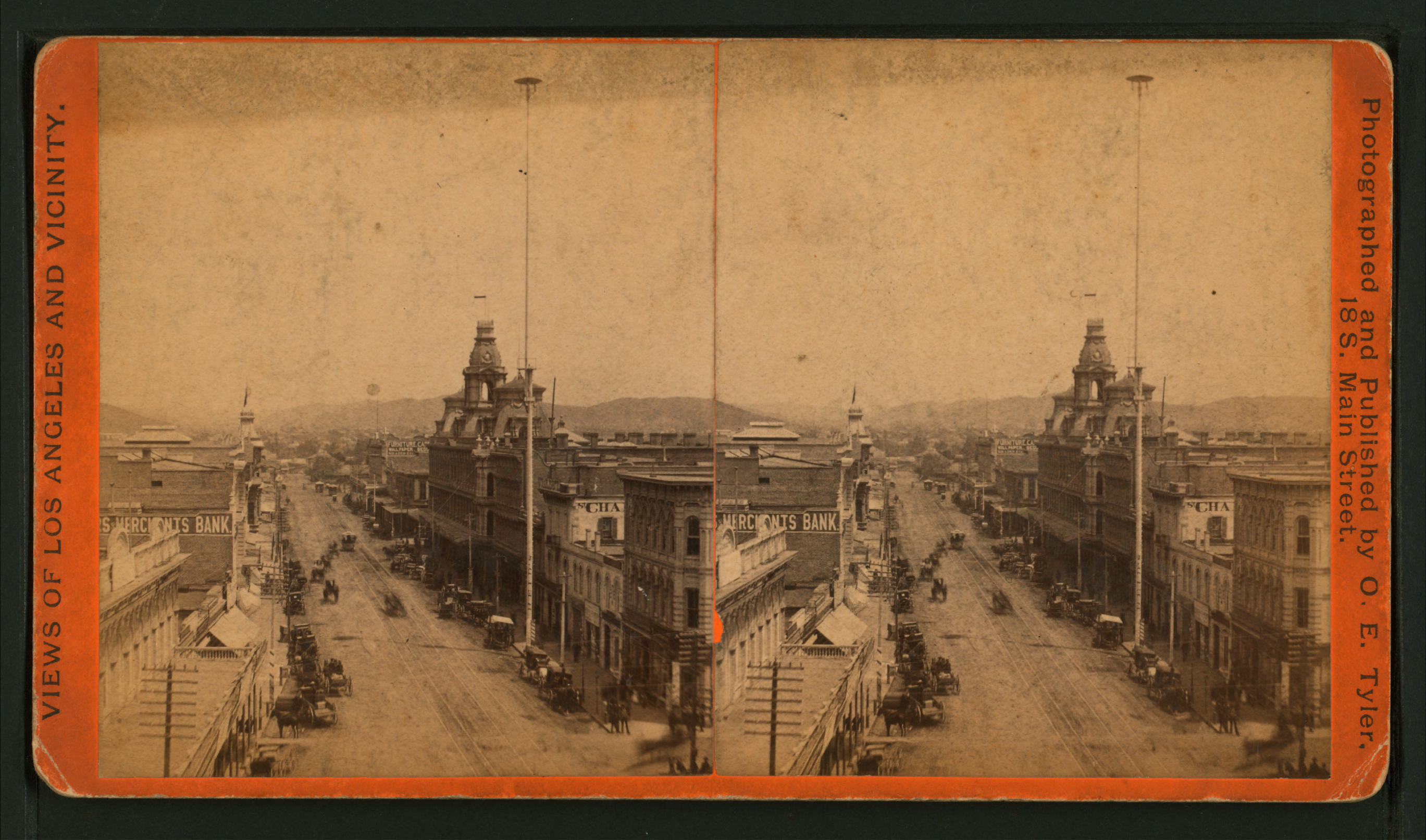
I appear to have found the original version of a previously-posted photo of Temple Square c.1879, looking south from the NW corner of Temple and Main Streets. In this stereoscope view, you can see the top of the United States Hotel's four-storey-tall flag pole, which, for many years after the Civil War, was the tallest man-made object in Los Angeles.


Wikimedia Commons. (A high-res 2737x1446 version can be viewed here.)


Now, if you were to go up to the top of the Temple Block (at right in the above images) and look northward, this is what you would have seen. The building with the three cupolas was the Baker Block. The tall mast at right was not a flag pole, but an arc-lamp street light. (An excellent illustrated history of street lighting in Los Angeles can be found here.)


Wikimedia Commons. (A high-res 2737x1613 version can be viewed here.)