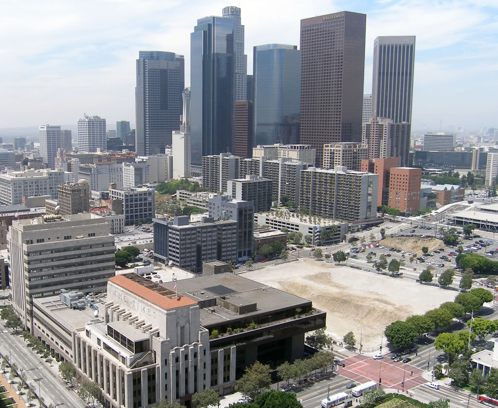
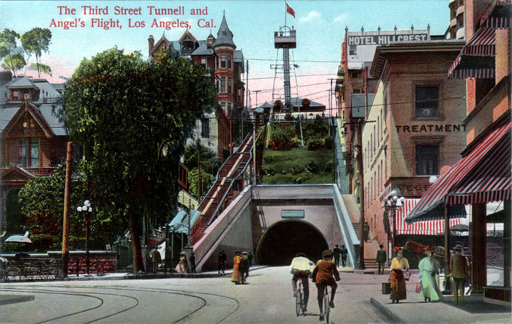
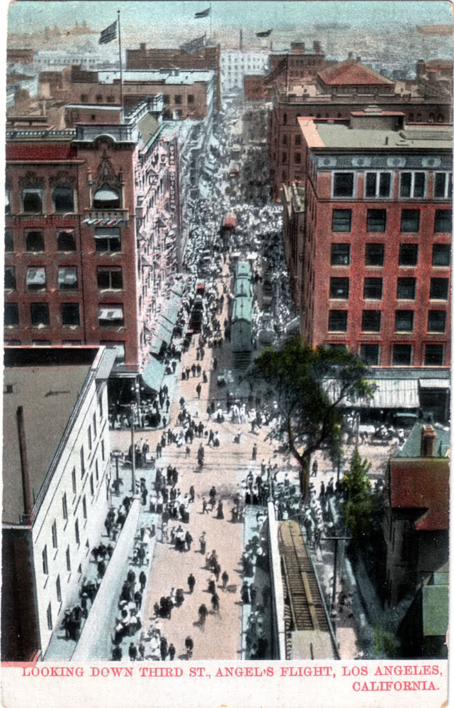
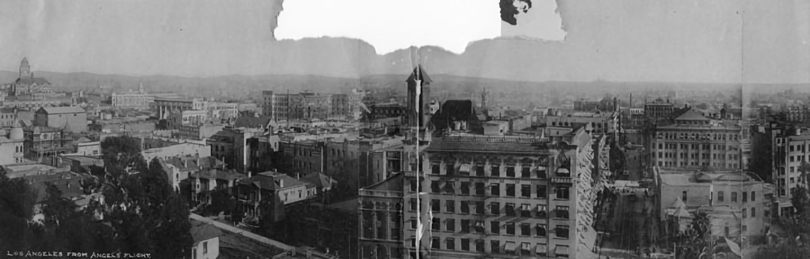
A vanished city lives again...

Showing posts with label bunker hill. Show all posts

Monday, May 19, 2014

"French Flats"

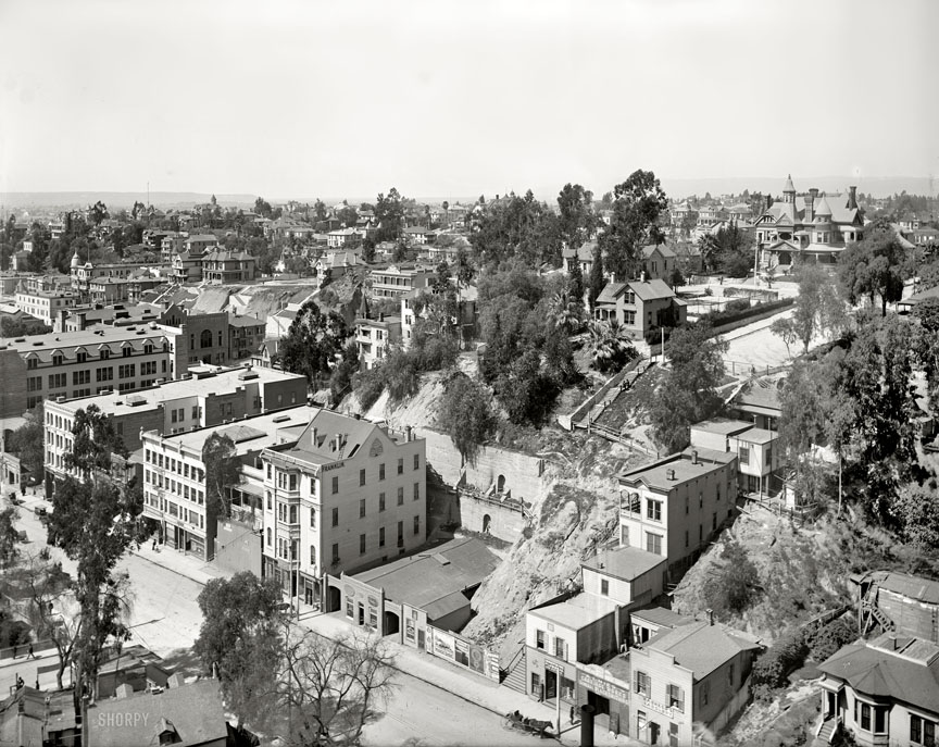
Some years ago, while browsing digital archives online, I came across this photo of a dilapidated old Los Angeles apartment building. I found its quirkiness to be instantly endearing. It looked totally ramshackle, but at the same time, its architectural details suggested to me that it might have had a much more elegant past.
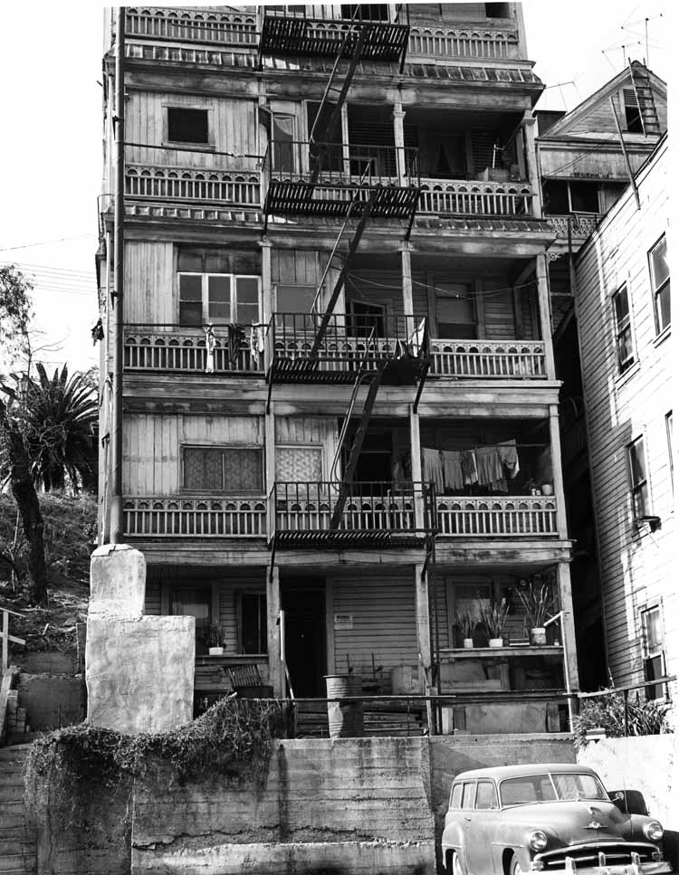

William Reagh, photographer. Courtesy California State Library.


So where exactly was this intriguing structure? No way to tell. The photograph's description contained no information more specific than it was taken on Bunker Hill in Los Angeles in 1963.

Not long ago, I found another photo of the building, but this time in color. Looking closely, I could tell it was taken around the same time as the black-and-white one (note the same three potted plants on the bottom floor porch). Moreover, this photo's online description did contain a specific address. It was 224 South Olive Street.
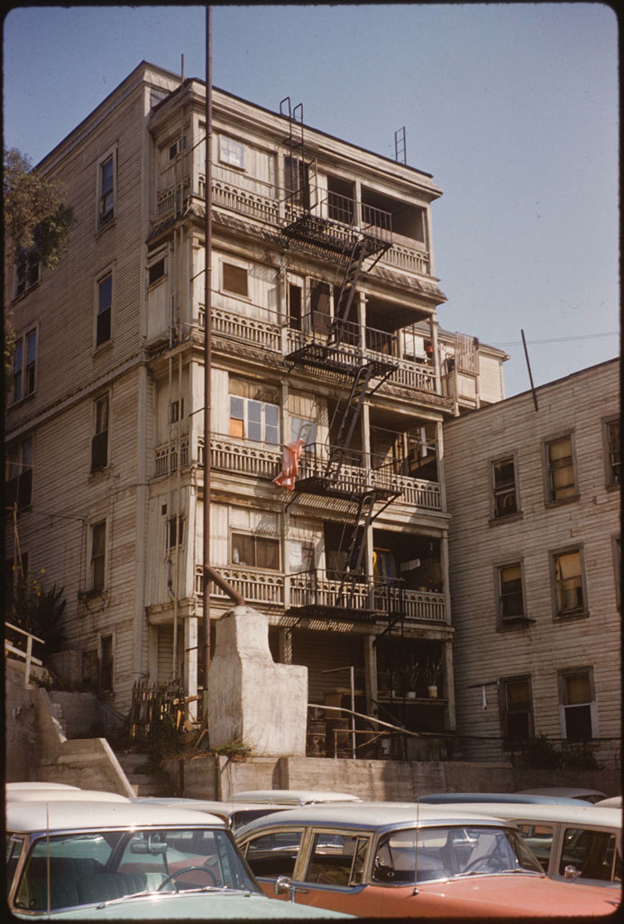

"Bunker Hill from Clay Street between 2nd and 3rd Streets, looking west," Palmer Connor, photographer. From the Palmer Connor Collection of Color Slides of Los Angeles. Courtesy of The Huntington Library, San Marino, CA. Link to full-res image.


Now I was anxious to find out what it looked like from the front. Thankfully, after a little more searching on the Huntington Library site, I found exactly what I was looking for. 224 is the building at right in the photo below.
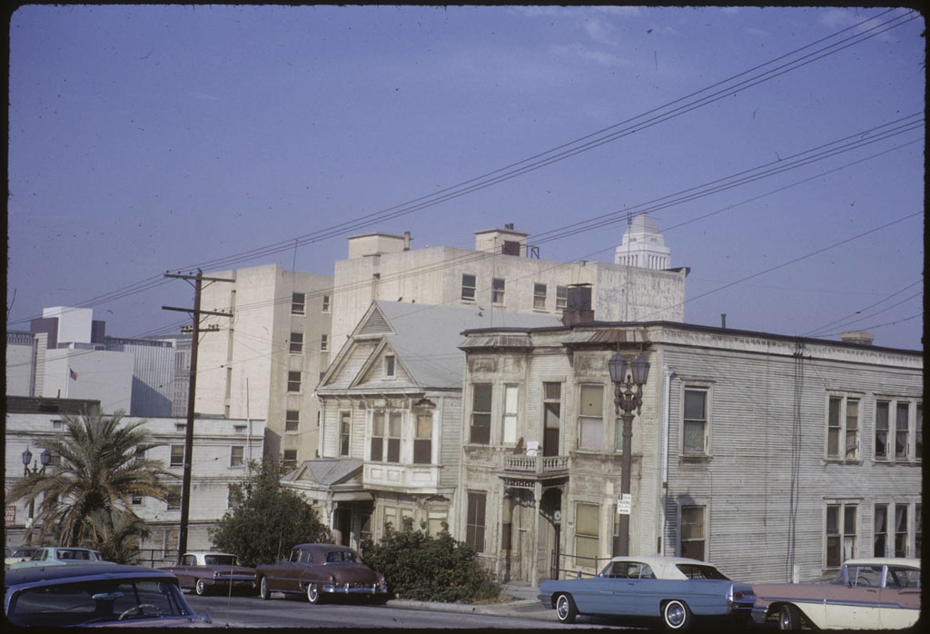

"Olive Street between 3rd and 2nd Streets," Palmer Connor, photographer. From the Palmer Connor Collection of Color Slides of Los Angeles. Courtesy of The Huntington Library, San Marino, CA. Link to full-res image.

More history sleuthing after the jump!
Tuesday, March 19, 2013

Third Street, Then and Now

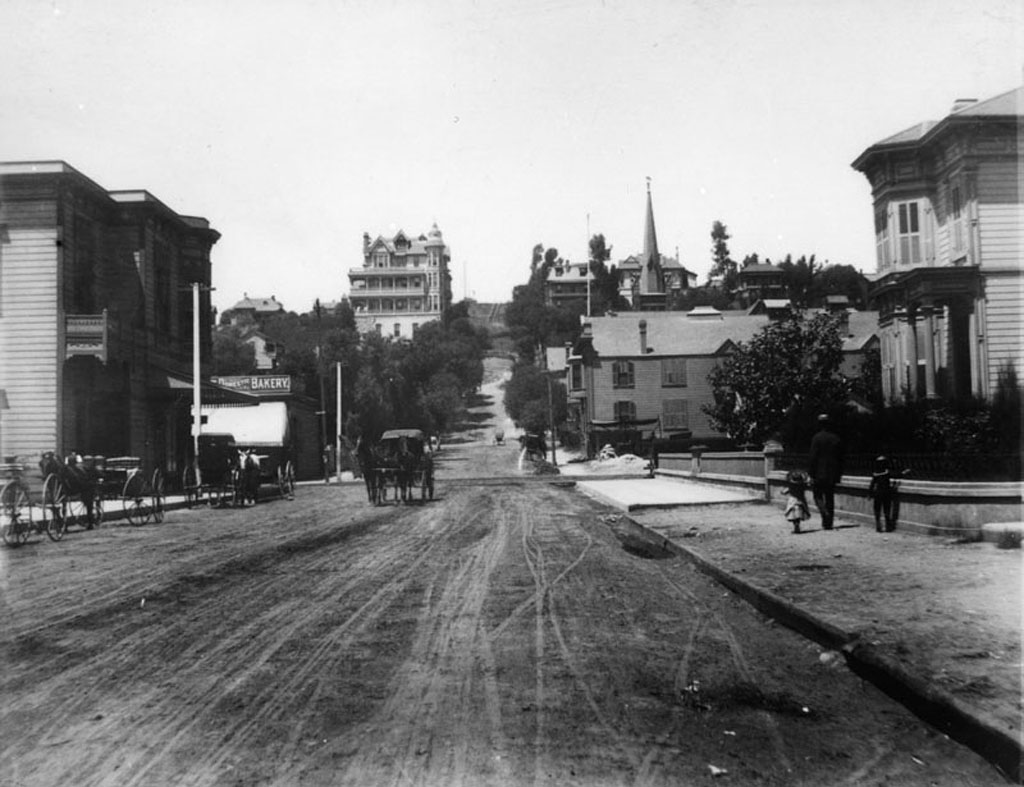
Third Street looking west from Spring Street, circa 1888:


Courtesy Water and Power Associates.

Up on Bunker Hill stands the ornate victorian Crocker Mansion, built in 1886. Next to it, in 1901, another old L.A. landmark would be constructed: the Angels Flight funicular railway.


The same view today:


Google Maps Street View.

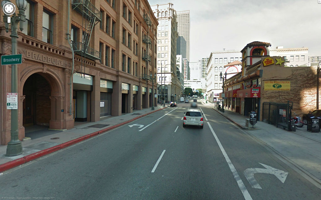
The famous Bradbury Building, left, was constructed in 1893, and is now the oldest office building in Los Angeles.


Thursday, August 23, 2012

Hill Street at First, Then & Now

1908:


Courtesy U.S.C. Digital Library.


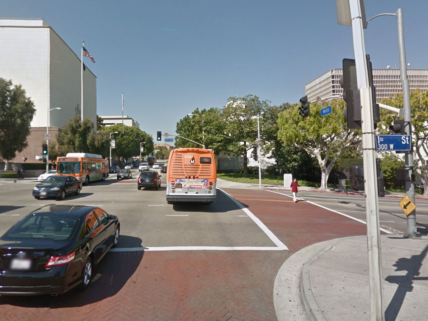
2011:


Google Maps Street View.


Today, clearly, it's "Hill Street" in name only.


Wednesday, September 7, 2011

A Drive Through Bunker Hill, 1948.

Richard Schave of Esotouric recently uncovered some remarkable film footage of 1940s Los Angeles on Archive.org.

Go to this page and have a look! (I tried embedding the video here, but it doesn't play satisfactorily at all at DSL speeds.)

The 6-minute film consists of three clips. In the first two, the car with the camera drives west up Second Street starting just west of Olive, then turns south on Grand. In the second clip, the car turns west from Grand onto Fifth Street and drives past the Central Library. The third clip starts just north of Fifth and Flower, proceeds up Flower to First, and ends just as the camera car crests the very top of Bunker Hill.

I think I can date this film pretty precisely to Summer, 1948. Just north of Fifth and Flower is a billboard for RCA Victor televisions that depicts a cartoon donkey and elephant wearing boxing gloves, with a caption saying "Pick a sure winner!" This suggests to me that this is a post-war national election year, with the national party conventions soon to be broadcast (these have always taken place in mid-summer). The style of television depicted on the billboard also looks post-war.


Then, just as the car turns east on First, another billboard advertises a show at the Hollywood Bowl running from July 25-Sept 5; another clue that this is summertime. Also, several of the cars in the film are post-WWII models. Although I'm no real expert on the subject, I don't see any autos here that date later than the 1948-49 model year.

Anyway, I highly recommend downloading the hi-resolution 217.8 MB MPEG4 file on the Archive.org webpage. The size and detail of the image is amazing. It really brings Bunker Hill back to life!


Tuesday, June 7, 2011

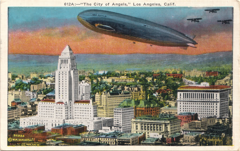
1929 Postcard


I've wanted this particular postcard for a long time, and now I finally have one of my own. The coloring is way off, but the aerial perspective of the Civic Center in 1929 is great. What's most striking to me isn't the Graf Zeppelin; it's that City Hall (left) and the Hall of Justice (far right) are the ONLY two buildings in this entire view that are still standing today. Everything else – every structure, tree, even the hill just beyond the Civic Center – is gone off the face of the earth. And this is Progress!


Thursday, December 9, 2010

1904 panorama

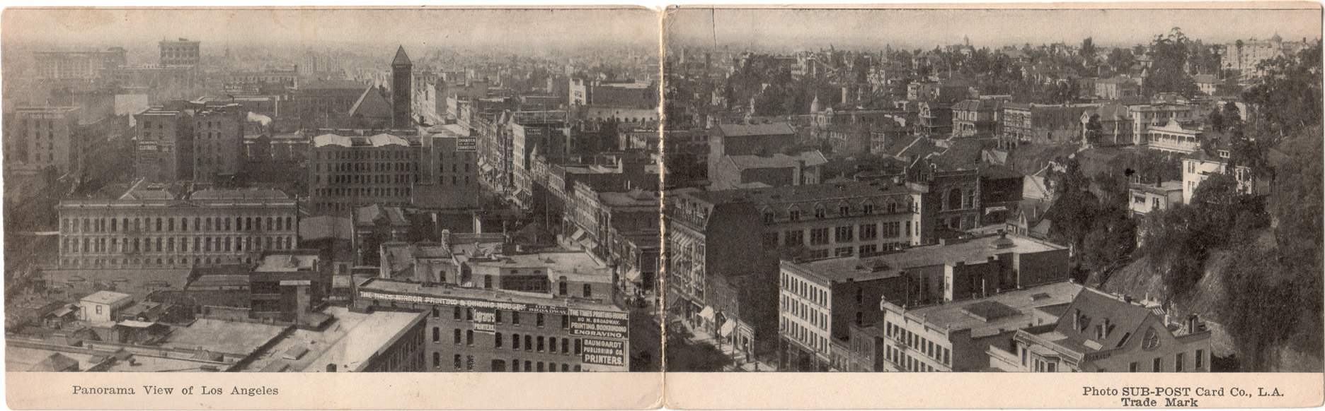
Recently obtained: this "double postcard" panoramic view of Downtown, as it appeared near the turn of the last century. The diagonal street at center is Broadway, and we're looking roughly south from atop the clock tower of the old County Court House at Temple Street. To the left is Spring Street with its intersection with First Street, and to the right is the still largely intact residential area of Bunker Hill.

Today, looking to the right, the same view is pretty much solid skyscrapers.


Click image for a nice 1872x582 enlargement.

The postcard is undated, but my best guess is that the photo was taken in 1904. The Hotel Lankershim at the far end of Broadway opened in 1905, but here, the building appears still to be in the later stages of its construction.

Is there any way a normal person living here today would recognize this as Los Angeles? Amazing that a cityscape could change so completely in only one-and-a-half human lifespans, isn't it!


Monday, July 12, 2010

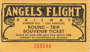
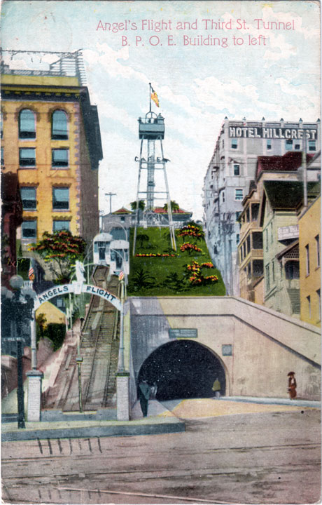
Return to Angels Flight

During my recent trip to Los Angeles, I got to ride Angels Flight again for the first time in 49 years.


All aboard!


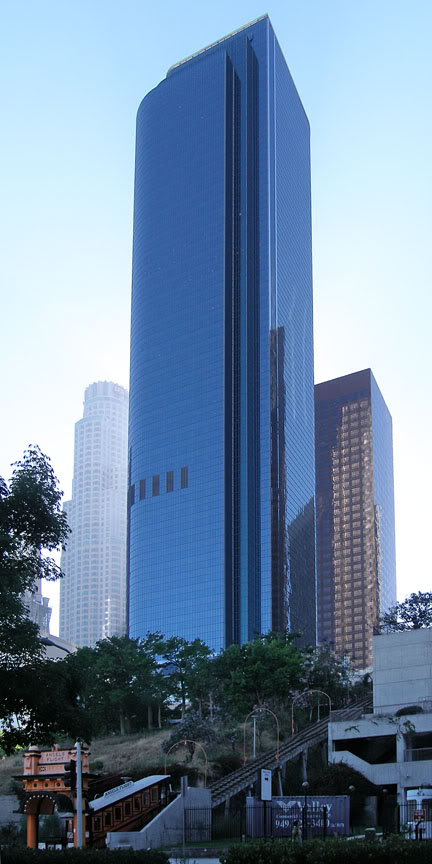
Viewed from Hill Street, Angels Flight today looks frankly anachronistic and out of place. Two California Plaza (1992) truly towers over the 1901 landmark.


Photo by J Scott Shannon.


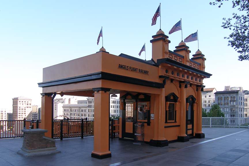
The vista looking southeast from atop Angels Flight, however, looks much as it might have 50 or more years ago. (The view today is actually better than it was in the old days.)


Photo by J Scott Shannon.


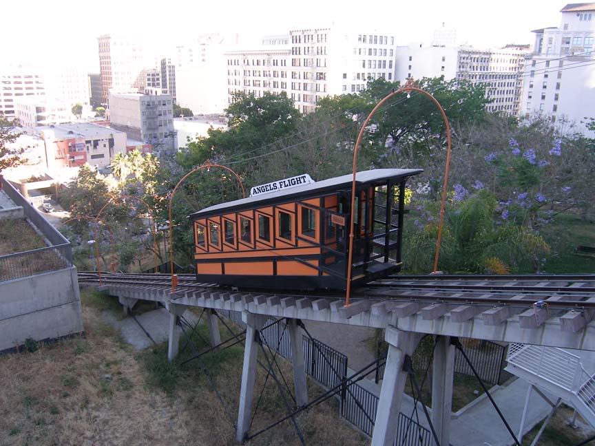
Sinai, ascending...


Photo by J Scott Shannon.


Photo by J Scott Shannon.


Angels Flight from Hill Street, 1910. What a difference a century makes!


Thursday, March 18, 2010

Bunker Hill panorama: Then & Now

Bunker Hill, viewed in its entirety, as few people alive today have ever seen it.

c.1939:


Source: USC Digital Library. (Record IDs: whit-m2777, whit-m2775, whit-m2776 & whit-m2779.)
Click on image above to enlarge.


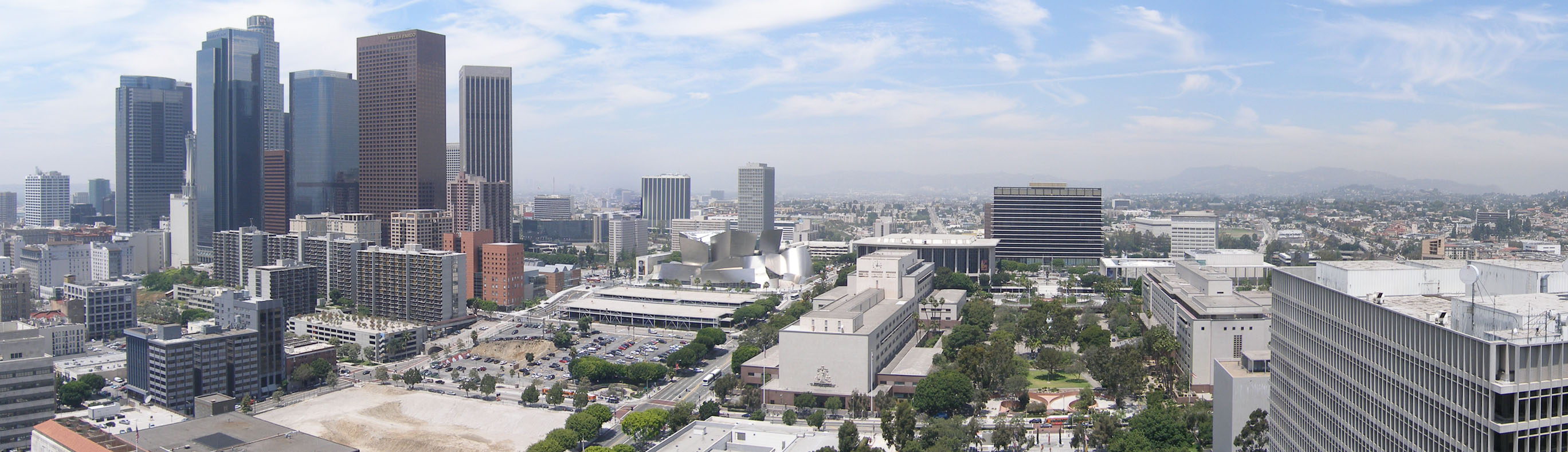
Only one human lifespan later, the same vista is virtually unrecognizable.

2009:


Photo by J Scott Shannon.
Click on image above to enlarge.


Wednesday, January 13, 2010

Views of old Los Angeles

Views of old Los Angeles, compiled by Larry Harnisch...


Pop quiz: Anyone care to guess the exact vantage point for the opening panorama shot?


Monday, December 28, 2009

The complete picture

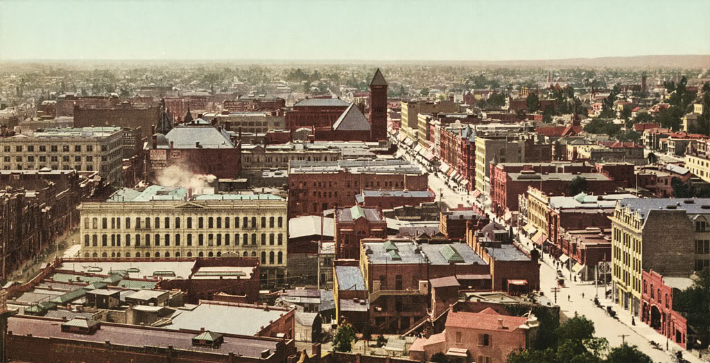
In May, I posted this entry about the image of Los Angeles below. It's a photochrom colorized photograph that was taken by the Detroit Publishing Company in 1899-1900 from the tower of the old County Court House.


Wikimedia Commons.


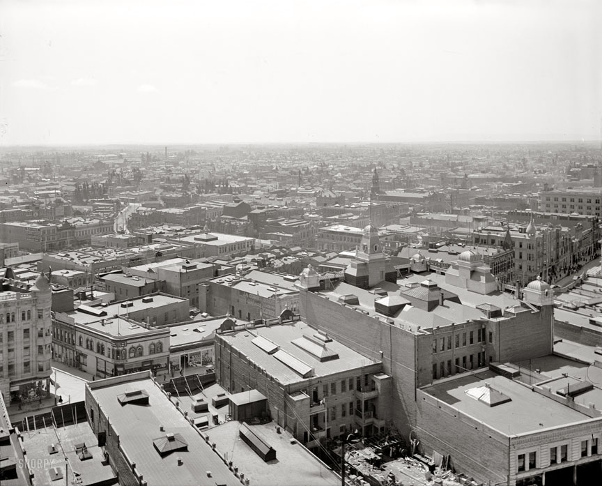
Well, it just so happens that I recently found two photos taken the same day from the Court House tower showing the complementing views to the east and west, as well. The panorama is complete!

This is the eastward view (actually more south-eastern). Today, City Hall would be in front of and to the left of us here, and looming very large.


Click image for source, and an enlargement.


And this is the westward prospect. Today, the skyscrapers would dominate the center and left of this picture; the Walt Disney Concert Hall would be visible near the upper right.


Click image for source, and an enlargement.


I especially like the latter view of 1900 Bunker Hill. The neighborhood is still very much in its heyday. Note that the Court Flight funicular railway (1904) has not yet been built on the dirt slope in the foreground at center right. And, in case you're curious, that large, remarkable Victorian residence at Court and Hill Streets is the Bradbury Mansion (1887-1929).

Do click on the images and have a look at the enlargements. The detail that can be seen is really quite impressive.


Friday, December 4, 2009

The Melrose

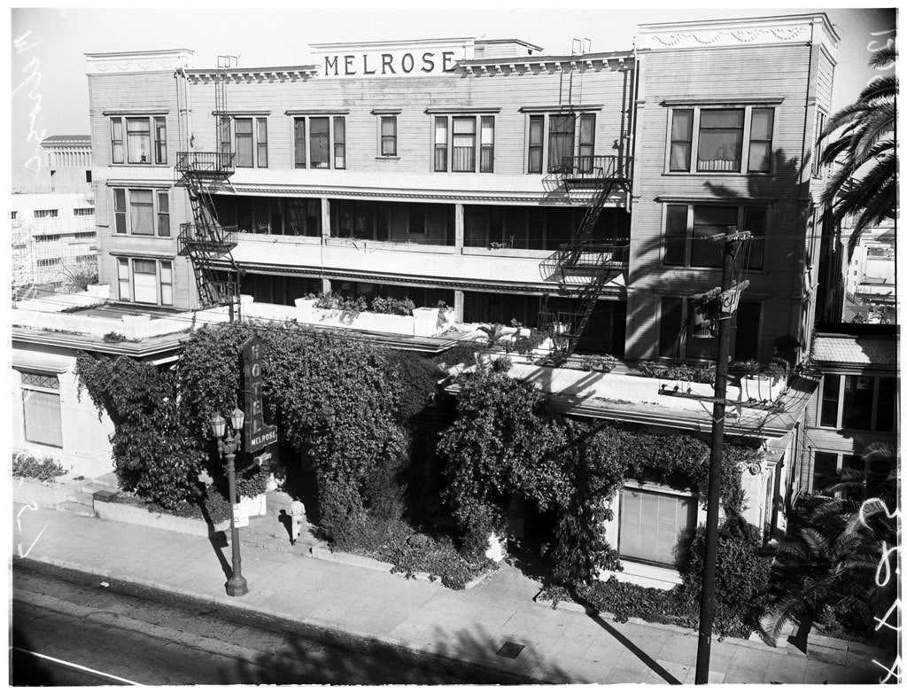
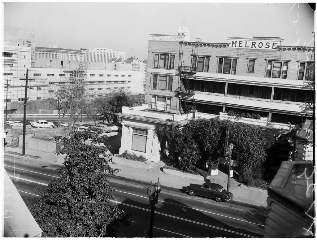
One of my favorite Bunker Hill landmarks was the old Hotel Melrose (1882-1957).

138 South Grand Avenue, ?1946.


Courtesy USC Digital Library-California Historical Society.


The Melrose and its next-door neighbor, the Hotel Richelieu.


Courtesy Los Angeles Public Library Photo Collection.


The original and the "new" Melrose (at left).


Courtesy Los Angeles Public Library Photo Collection.


120 South Grand:


Courtesy USC Digital Library-Los Angeles Examiner.


1957. Note proximity to other downtown landmarks:


Courtesy USC Digital Library-Los Angeles Examiner.


Many more photos below!

Thursday, October 29, 2009

Southwest from City Hall: Then & Now

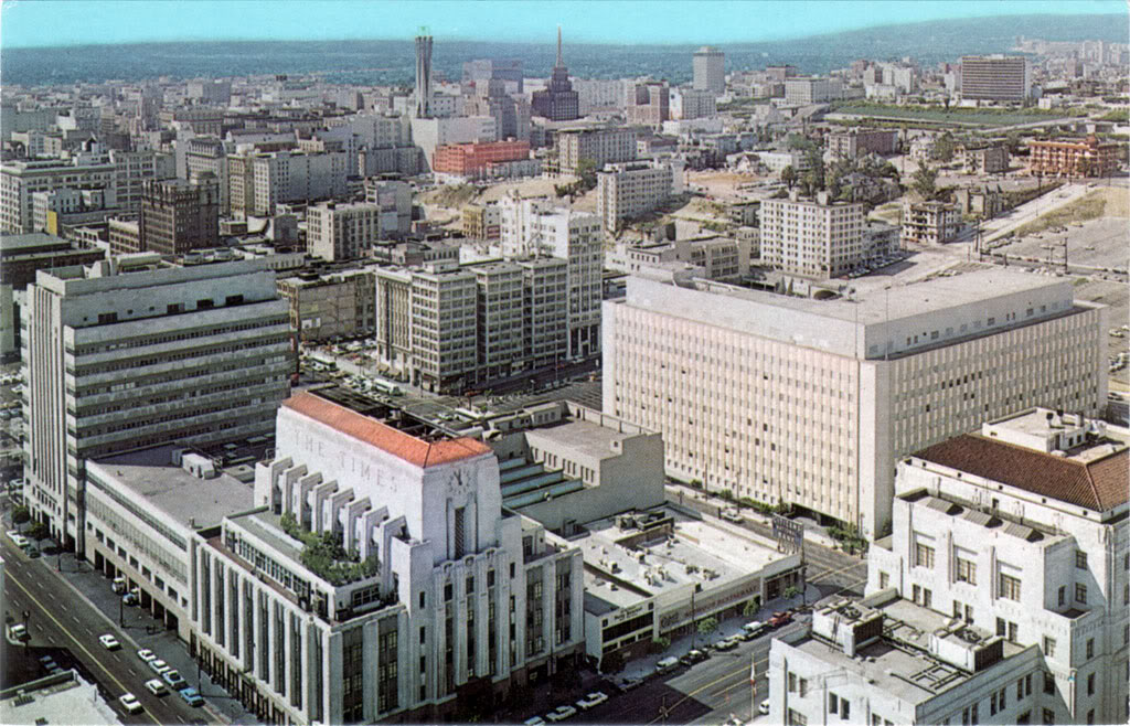
I'm not quite done with the special project I've been working on of late, but I just got this old postcard and I can't wait to do a quick "Then & Now" with it.

As usual, I can't be absolutely certain about the date of this photo, but I'm thinking it's probably around 1962. The buildings around Angels Flight have been razed by this time, but The Dome is still alive and well at the corner of Second and Grand (upper right), so I think this is a good ballpark guess.


Taken by me from the observation deck of City Hall during my visit on July 10, 2009. I have to say – when I first saw that block-square open pit at First and Broadway, I had mixed feelings about it, but now that I see the building that was there before (The California State Office Building?), I have to say the current open space is a significant improvement.


Photo by J Scott Shannon.


It's interesting to me to think that the old photo is from a time that is actually within my living memory. This Then & Now comparison illustrates pretty much exactly the extent to which downtown Los Angeles has changed in the short space of my own lifetime...


Monday, August 3, 2009

View from the top

For at least 25 years after Angels Flight opened, there was an observation tower adjacent to the incline railway from which one could take in a breathtaking overlook of downtown Los Angeles. Here's a commonly-seen view of Angels Flight from the bottom. (Please pardon the spelling!)


And the much more rarely-seen view from the top of the observation tower.


It's a rather dizzying sight, isn't it? We're even higher up here than Bunker Hill itself! What a teeming multitude is below. Judging by the shadows and the crowd, it looks like it's noontime on a high summer's workday, and yearwise, you can tell we're still in the "aughts" here as indicated by the scarcity of automobiles. It's almost all foot- and trolley-traffic down there.

Here's another view from the top of the tower. This one dates closer to the 1901 opening of Angels Flight, though...


Los Angeles Public Library.


Wednesday, June 3, 2009

A pleasant prospect

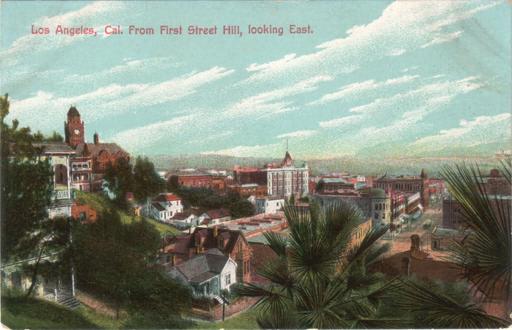
Received yesterday another postcard view I've long been eager to acquire – this pleasant prospect of Los Angeles, as seen looking east from Bunker Hill, near Olive and First Streets, sometime around the turn of the last century.


I'm truly transported by scenes like this. It's a time and a place I never knew, but I feel completely at home here. Unlike the L.A. of my younger years, this is a town that I could have lived in and genuinely loved...


Some familiar landmarks stand out. Looming over downtown, at left, there's the old County Court House. In the center can be seen the Phillips Block – in its heyday the largest mercantile building in the city – at Spring and Franklin Streets. And, toward the lower right, with its broad cupola, is the ill-fated Times Building at First and Broadway. (Its presence in this view establishes the date at no later than 1910.)

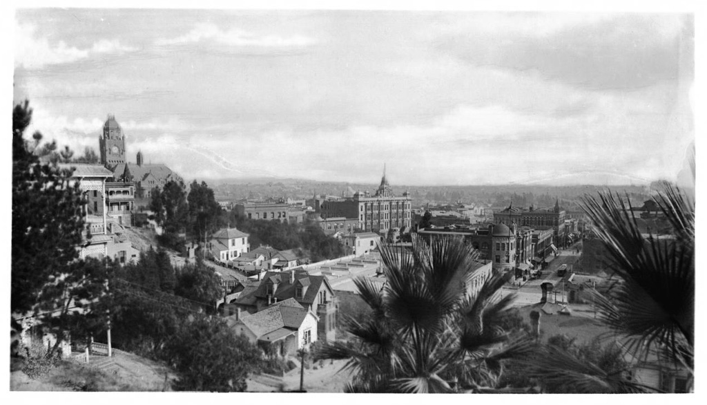
Interestingly, the USC Digital Archive has the actual photograph this postcard was made from. (The date's given as circa 1887, but the old Boyle Heights orphanage is visible on the far horizon, so it can't be earlier than 1890.)


The view from Olive and First Streets is quite different today. (And not in a good way.)


View Larger Map

The last time I was in Los Angeles – ten years ago – I walked past this very spot. I could never have imagined that, a century before, such tranquil beauty once existed there...


Thursday, May 29, 2008

Third Street at Hill: Then, Then, Then and Now

Within a span of only two lifetimes, one street intersection in Los Angeles undergoes an almost unimaginable series of transformations...

c.1890:


Courtesy U.S.C. Digital Library.

c.1935:


Courtesy Los Angeles Public Library.

1978:


Photo by William Reagh, Courtesy California State Library.

Today:


Photo by J Scott Shannon.


Wednesday, February 27, 2008

Nostalgia for a place I never knew...

I should be taking eBay auction pics right now, but I'm feeling too edgy.

So, I'm relaxing like I have been a lot lately – traveling back in time to 20th century Los Angeles.

It's amazing to me that I feel nostalgic for a place I fled from in terror 25 years ago.

But it's not actually that Los Angeles I journey to in my mind. Mostly it's to a Los Angeles I never knew; before WWII, when it was a real city – a downtown that people actually lived in, as opposed to commuting to.

The freeways changed all that, though. The freeways bled the life out of Los Angeles. By the time I was born in the mid-'50s, most working folks had already left the city for suburbia.

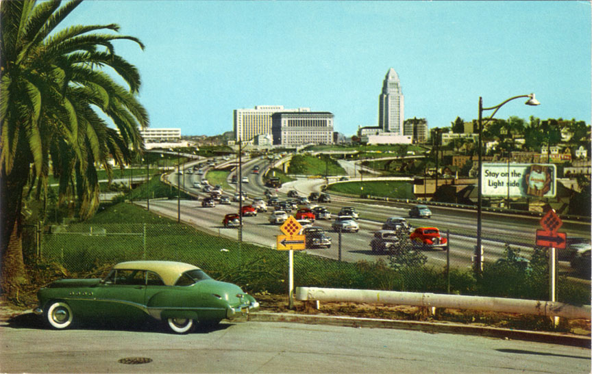
I think this postcard photo was taken around 1950. (That's a '49 Buick in the foreground, and I can't really see any cars on the freeway that look much newer.) It's the Hollywood Freeway westbound just as it's leaving the city center.


It's a pretty view, but from a historical perspective, what's interesting to me is seeing all those houses and trees on Bunker Hill (above the billboard). It was still a largely residential neighborhood in 1950. I don't remember it being like that when I was growing up in the '60s. I do remember when the fate of the last two houses on Bunker Hill became a matter of public debate around 1968, though. That's when I as a young man first really became aware that there ever was a neighborhood there (and a quite wealthy neighborhood it was in its time, too).

*chuckle* I still think it's strange that I think fondly of L.A., though, at any stage of its history. Strange it may be, but that's where my thoughts have been going a lot lately when my mind wanders, which has been fairly often. ;-)